Sediment Samples and Drone Shots Help Us Understand “Estuaries of the Future”

Constanza and Fernando 
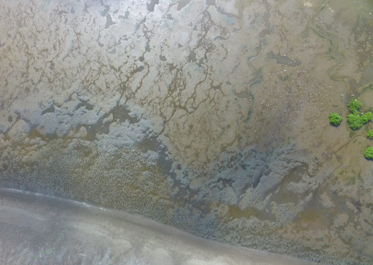
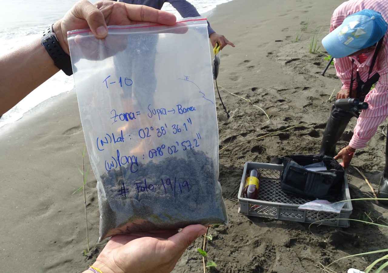
Arial photograph of tidal in Nariño, Colombia flat in First sediment sample
September 24, 2019
Richard Johnston
Biologist / INVEMAR
Nariño, Colombia
Tidal flats are critical habitat for migratory shorebirds and coastal fisheries. In the project “Estuaries of the Future” we want to understand the resilience of tidal flats and their biodiversity against climate change effects. Our first step was to apply artificial intelligence to process hundreds of satellite images and create a dynamic map of the tidal flats in northern Nariño, Colombia. During our field surveys we collected drone images and soil samples to describe the diversity of sediments found in the mudflats. Also, local communities shared with us the information on the species of commercial and cultural interest that use this habitat. In the following months we will use this data to study the current and future distribution of shorebirds and other species of interest that reside in these inter-tidal zones.
The Coastal Solutions Fellows Program builds and supports an international community to design and implement solutions that address coastal challenges across Latin America. Our main goal is to conserve coastal habitats and shorebird populations by building the knowledge, resources, and skills of Latin American professionals, and by fostering collaborations among multiple disciplines and sectors.